

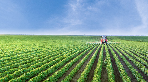


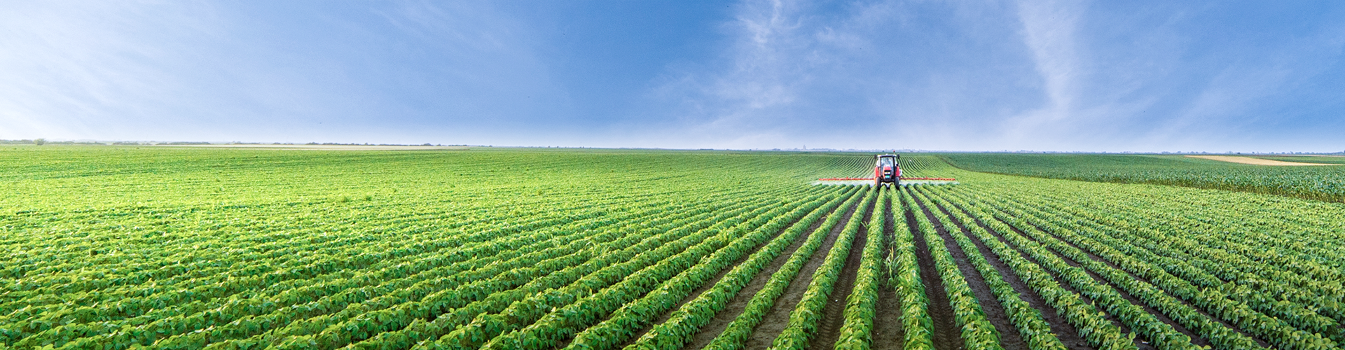
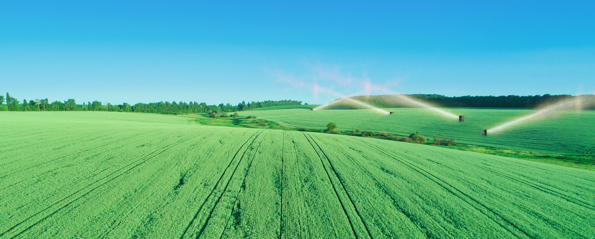
The smart water platform utilizes the Internet of Things, big data, artificial intelligence, intelligent equipment and other technologies to realize the intelligent management of irrigated areas through modern information collection, transmission, processing and release, and builds a whole set of schemes for automatic monitoring, automatic warning, intelligent scheduling and information release of water consumption in irrigated areas.
To achieve scientific, timely and accurate allocation of irrigation water, to achieve the purpose of efficient water saving, to ensure the safety of the system, but also for the irrigation area water resources management to provide basic and effective data, for farmland water management to provide effective support.

-
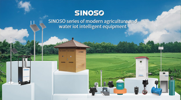
01A picture of the irrigation areaOn the basis of basic geographic base map, combined with all kinds of water conservancy data, standardized all kinds of water conservancy data by formulating unified spatial storage standards, including the unification of data formats and spatial datum, and integrated and converted all data into a unified spatial datum.
-
02Water price reformThe irrigation area can realize the calculation and comprehensive comparison function of water quantity measurement, and finally form a set of measurement methods with sufficient theoretical basis and high precision.
-
03Intelligent monitoringBasic water conservancy information such as river, sluice, dam and pump station, basic information of monitoring equipment such as water level meter, flowmeter and video monitoring point, and monitoring information such as water level monitoring, flow monitoring, video monitoring, water quality monitoring and soil and water conservation monitoring are comprehensively displayed and searched on a map of intelligent water conservancy.
-
04Water resources managementThe red line of water resources development and utilization control, the red line of groundwater level control and the blue line of river and lake water area management are compatible with the management of important water intake households in the district, the control section of important water functional areas and interregional administrative boundaries, and the monitoring of regional groundwater overextraction areas. The ability to support the quantitative management of water resources and the assessment of the implementation situation is gradually enhanced, so as to provide monitoring data support for the water resources information service business system.
-
05Intelligent schedulingFocus on the early monitoring and warning of water conditions, water project flood control and drought management, emergency water management, flood prevention and emergency rescue technical support.


- About
- Company introduction
- Corporate culture
- Development course
- Science and technology research and development
- Honorable-management qualification
- Cooperative partner
- Business block
- Agricultural Internet of Things solutions
- Modern agricultural industrial Park
- SINOSO intelligent agriculture cloud platform
- Products
- Intelligent equipment
- Reinforced polyethylene (PE) pipe
- Agricultural robot
- Water conservancy and hydropower equipment

Phone:025-87150970
E-mail:sinoso@sinoso.com.cn
Address:7 Pengshan Road, Jiangning District, Nanjing
Subway:Nanjing Jiaoyuan Station


